
Insider Tips!
Park Basics: Click here for the official Bear Brook State Park page including fees, maps, etc. Download and print the Best BBSP Trail Map (it’s not complete but does have most of the trails) and bring it with you. Maps are increasingly available when the park is officially open during the summer, and the park is accessible year round. There is a fee to access trails — a few dollars per person, or invest in a season’s pass or state park license plate. It’s a carry-in, carry-out park (including pet waste).
There’s a lot to love about this park. It’s the largest developed state park in New Hampshire and more than 40 miles of varied trails. It’s one of the top mountain biking locations in New England, and the trails are also popular for mixed use including hiking, cross-country skiing, and snowmobilig. It’s a popular park for hunters as well (most people assume that the “hunting is unlawful” signs along Podunk Road mean no hunting is allowed, but actually it means that on the left side of Podunk Road only bowhunting for deer is allowed, but the rest of the park is open to all types of hunting). Fishing, horseback riding, camping, swimming, and picnicking are also available in the park. Dogs are welcome; park rules indicate that they should be kept on leash, but most people ignore this rule.
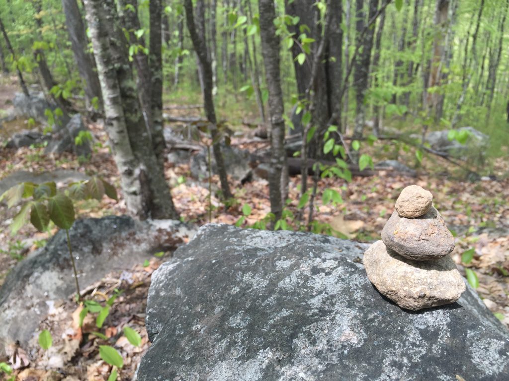
But it’s not perfect. This park was built during the New Deal era after fires cleared much of the land. Old CCC camps and buildings have been repurposed (but are a bit run down) throughout the park. The squiggly network of trails is not well marked. Even if you have a map, some trails are not shown on the map as constantly in flux as mountain bikers cut new, unmarked trails and old, unmarked trails also exist. Bridges and boardwalks can be in varying states of disarray. The Student Conservation Association (SCA) and park staff do their best to maintain the park, but it’s a monumental and barely funded task. So, it’s really easy to get lost. Don’t assume that if you “just keep going” you’ll eventually end back at the parking lot you parked in. Cell service and GPS signals are poor in much of the park, but it’s not a bad idea to use an app like Adidas/Runtastic or AllTrails to record your trip to you have an idea of where you are compared to where you parked if you get lost. Also, it’s not the most manicured park out there. While I love this pine forest ecosystem, the park and forest can be a it run down. And definitely protect yourself and your family and dog from ticks and do a thorough tick check after your hike.
Trail Recommendations
Just a few ideas for you! The park is officially closed for much of the year, but you can always go in and play during the daylight hours. There are some museums, swimming areas, small stores, and a very popular campground that are open seasonally.
Maybe I’ll see you out there!
Hiking:
Hike the Peak! One Mile to Catamount Hill Peak (out and back the same way) – Great quick hike with an elevation climb and great views. Look for lady slippers in May. Also keep an eye out for porcupines near the top. From the Deerfield Road Toll Booth/Catamount Pond Parking Area, take the connector trail by the toll booth, left onto One Mile, quick right up Catamount Trail to the top. Return the way you came. 30-60 minutes. Our steepest climb and best views in the park. Keep your eye out for porcupines near the top as well as mayflowers. You’ll also walk through a stretch of. sweet birch trees, which have yellow foliage and leave a slight wintergreen aroma to the air in early autumn. Several variations to extend it this hike:
- Cascade “Gorge” Loop: Continue from Catamount Hill peak along ridge, left down Short Cut (this can be a slippery, wet descent), right to Cascade (cut straight across the 5-way intersection by Sentinal PineTrail, then take a left after you cross cascade “gorge” to stay on the trail), left onto One Mile* to return to the lot. This is a longer trek with two solid climbs. In addition to your “peak” views on Catamount, Cascade has lovely waterfalls in spring and after heavy rains, especially when the hobblebush is in bloom. Be sure to wear your microspikes during icy season so you don’t slip off the trail into the brook. This is a 1.5 to 2 hour hike for most people.
- Loop/Longer Version of Catamount: To get more of a climb and a slightly longer hike, halfway up Catamount trail, take a left at the four-way “intersection” onto the unmarked (but very obvious) trail next to the bench. This will wind down parallel to One-Mile and pop you out at the bottom of Short-Cut Trail (which is the other trail that goes up Catamount). Climb this to the top of Catamount, stay right to follow the ridge and come back down Catamount Trail. This takes about 45 to 60 minutes or more.
- *Explore Bear Brook Extension Trail (aka Lower Bear Brook Trail): This is a cute, easy, narrow trail (“single track” for mountain bikers) that runs parallel One Mile trail on the brook side. It’s a lot nicer and quieter to hike along this trail than One-Mile. It begins by the clear-cut area where Sentinal Pine and Alp d’Huez trails meets One Mile trail (on the opposite side). It basically ends by the the brook’s bridge near an old ball field behind the pavilion. Take a left for a short hike up the hill to reconnect with One Mile (this brings you opposite Catamount trail), take a right and then another right to get back to the toll booth lot.
- Note that there is also a meandering unnamed trail that runs parallel One Mile on the hill side. If you see the map I linked above, it’s marked by a green squiggle. (Thanks to Red Line Patch local Tom St. Martin for making this “slightly better than the official” map! It’s almost perfect except. that it doesn’t have the newest mountain bike trails.)
Hike the Brook! Bear Brook Trail (out and back the same way) – A popular easy hike with our best views of the brook. From the Podunk Road Hiker/Biker parking lot, technically you’ll start on Little Bear Trail (entrance by the sign and outhouses). Take a right onto Bear Brook Trail, following it to the left so that the brook is on your right as you hike. (If you go the other way so that the brook is on your left, the trail is short but does give nice access to the brook for fishing and cool plants.) Depending on how far you go, there’s a nice “pull off” to hang out by the brook as well as some fun trails cut right into the hemlock forest hill (wear your spikes in ice season!) In spring, keep an eye out for the ephemeral dwarf ginseng and anemones near the river towards the end of the trail. This can take 30 to 60+ minutes depending on how far you decide to go.
- Short Bear Brook Trail Loop: For a 20 to 30 -minute quick, easy hike (but not many views), from Bear Brook Trail take a left onto the connector trail to Little Bear (marked though the connector trail is not named). This will bring you back to the parking lot.
Nice Little Loops: Big to Little Bear – From the Podunk Hiker/Biker parking lot, start out on Little Bear but then take a quick left to go up Big Bear (which a little roller coaster of a mountain biking trail). This is a miraculously low-bug trail in summertime! It’s also a favorite trail for mountain bikers to speed down, so watch for them. (The nice thing about hiking up it is that you have a better vantage point to see them racing down at you.) When you get near the top, stay right to take Little Bear down (stay right at the bottom of the hill to stay on Little Bear), which will bring you back to the Parking lot.
- Variation/Extension – Squirrel Trail: Extend your trip with a new trail (which is not on the map, depending on the map you have) called Squirrel Trail. This is a cute, sunny, easy, winding tail set in the little triangle of land between Podunk and Campground Roads. There’s a fun rock for kids, dogs, and bikes to jump off of. It begins right by the roads intersection/gates and ends by the intersection of Salt Lick trail, Podunk Road, across the street from where Big/Little Bear Trail dumps out onto Podunk. You can easily make this into a loop by connecting it with Salt Lick and Campground Road (or Pitch Pine trail, if you’d rather not walk back on the road). Or connect it with a Big or Little Bear trail loop. Or Podunk Road. You can tell this is a trail cut by mountain bikers because it’s so curvy, but as long as you know that going in that you will not be going in a straight line at all, it’s a nice trail to walk on.
Travel to a Mystical Land! Hedgehog Ledge Loop – Ledge Trail is really gorgeous, unique trail that goes along an area of huge boulders where porcupines (erroneously once called hedgehogs) live with stone steps as well as a hemlock forest, and an easy side trip to see Bear Hill Pond. The boulder area feels like you’re in some kind of mystical land out of Lord of the Rings, especially in spring. There are a handful of ways to do this, loop, and some trails have different names depending on which map you’re looking at, and a few newly cut mountain bike (super curvy) trails in that area aren’t on the maps at all. When Podunk road is open, park at the gate for Hedgehog Trail. It take about an hour to hike, give or take, and you won’t run into very many people on it. You’ll want to do it when the gate on Podunk isn’t closed, so you can drive up and park right next to Hedgehog Ledge Trail’s start point.
- Take Hedgehog Trail (a snowmobile/class 6 road beyond the gate) or pop up Podunk a few feet to take Bear Hill Trail, then the second unnamed right trail (named Bear Hill Ledge Trail on the BBSP map), which runs more or less parallel Hedgehog trail with a narrower woods walk.
- Either way, take a left to go onto Ledge Trail, which is where the trail heads through a Hemlock grove into the area of stone steps and large boulders. Follow this trail to the end, then…
- Take a left onto Ferret Trail (a wider snowmobile/class 6 road). Shortly further up on your right will be a side shoot for a nice view of Bear Hill Pond from the rocks. Great spot for a picnic and to watch wildlife. Continue on Ferret trail where you can complete you loop by either…
- Taking Bear Hill Trail on your left (this can be hard to find b/c of all the logging cuts and often being unmarked), the trail can be found shortly before the landscape turns to larger pine forest, which will bring you through a wet spot, up Bear Hill (neat ant hills at the top, should you take the short side trip), down Bear Hill, where it then banks left (as opposed to going straight down to Podunk) to loop through the woods (parallel Podunk) back to near where you parked.
- OR take the unmarked trail on the left (once you get into the pine forest), which is a newly made mountain bike trail of wide S curves that runs parallel Podunk and eventually dumps you out on Bear Hill Trail (right where you can continue on to stay int he woods or go right to connect to Podunk) to loop back through the woods to your car. This trail is not on the map.
- OR take Ferret trail right to Podunk, left onto Podunk Road to walk back to your car. This is about 1.5 miles from your start point along the dirt road (kind of a boring way to walk it). You’re only about .5 miles from where Bear Hill Trail connects to Podunk road, so you could just run the road for .5 miles, then jump onto Bear Hill Trail to complete the last mile in the woods. (This avoids the wet spot on the earlier stretch of Bear Hill trail and also the somewhat-maddening-to-a-hiker S curves of the newly cut mountain bike trail.)
Beaver Pond Trail is a really gorgeous loop around Beaver Pond near the campground with cool bridges over swamp ecosystems. Stunning during foliage peak. But, sometimes the boardwalks are breaking down like bridges of death. I haven’t been out there recently, so I don’t know if if the boardwalks. and bridges are in good or bad shape these days.
Snowshoeing & XC Skiing (NOT groomed):
Little Bear to Hayes Field down Podunk – fun little ski up then down, also good for snowshoes, be aware of snowmobiles in Hayes Field and Podunk. The routes changed a bit in 2012 but are still very nice. The downhill Big Bear trail is a tad sketchy in some spots for skis – lots of switchbacks with some very tight turns.
From Hayes Field go up Podunk then take Bobcat to Salt Lick to Pitch Pine Loop – Nice slightly longer trip with some fun hills on Pitch Pine, but be careful crossing snowmobile trails
From Hayes Field to Podunk to Bobcat Broken Bolder, stop at Smith Pond Shelter, down Pitch Pine – Really long xc ski or snowshoe, but it’s cool to stop by the shelter. Watch out for cars on the campground road – the AmeriCorps kids live up that way.
One Mile trail is nice for beginners though boring and busy with snowmobiles on weekends.
Parallel to One Mile is an unofficial narrow trail that is nice for snowshoeing and sometimes cross country ski along the brook. Access by taking a left off trail to climb the mini hill after the bridge behind the pavilion. It also connects a few times via side trails to One Mile and ends around the Cascade/One Mile/Carr Ridge/Bear Brook/Lane trail junction.
Biking
The park is primarily utilized by mountain bikers (especially NEMBA), and you can find more information about that here. There’s a wide range of trails for varying abilities. Beginners should be aware that the trails are rough, rocky, bumpy, filled with roots, and sometimes sandy. These are not cushy paved trails, rail trails, or Acadia-like carriage trails. Lots of single track opportunities winding through the forest and hills. Not ideal for road bikes. Popular in winter for fat tire bikes. Wear a helmet, and know that cell service is spotty.[spacer height=”20px”]